Geographic Information Systems (GIS)
Overview
The Geographic Information Systems (GIS) Division is responsible for the creation, collection and management of location-based information pertaining to St. Johns County, Florida.
Examples of this information include: Commissioner Districts, School locations, Road Centerlines, Address Site points, Fire and EMS Zones, Beach Access Points, Digital Orthophotography, and Municipal Boundaries. From this information, the GIS Division is able to generate customized maps, perform complex analyses and develop applications that allow the end user to make better informed decisions.
iMap Application
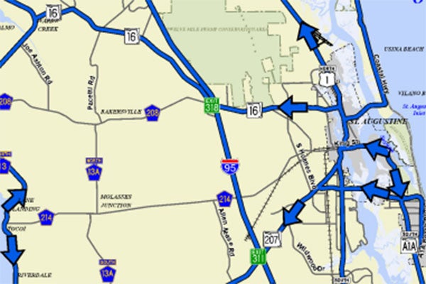
View areas of interest within St. Johns County using the interactive GIS mapping application from the convenience of your desktop, tablet or phone. Search for addresses, parcel numbers, street names, parks, schools, fire stations, golf courses and more. Users have the ability to view property information, zoom and pan the map, turn map layers on/off, and print your own maps. In addition to a variety of layers including Commissioner Districts, Evacuation Zones, School Attendance Zones, Future Land Use, ZIP Codes and Zoning, there is also current and historical aerial imagery that can be displayed.
Featured Services
With the change in the County’s website design, the GIS Data Depot is being retired and replaced with the GIS Open Data site. Please click the button below to discover and download data, maps and applications.
GIS Open DataThe St. Johns County Road Atlas for 2025 is now available for purchase at $8 per copy. It contains 130+ color map pages along with a street index and is available for purchase at the Land Management Systems Department, in the County Administration Building. Quantities are limited. Email jmarrick@sjcfl.us or call (904) 209-0760.
Use the survey tool to request an address for a utility feature such as a cabinet, meter, power pole, small cell antenna, or lift station.
Utility Address RequestProvides the newly adopted Flood Zone boundaries and Base Flood Elevations for St. Johns County. You can search for a property by parcel number or address to see which Flood Zone(s) that the property is in as well as if the property has a Letter of Map Change.
Flood Zone ViewerContacts
Mike Campbell, GISP GIS Manager
Bob Carberry, GISP Senior GIS Coordinator
Ivy Lee, GISP Senior GIS Coordinator
Paul Clement, GISP Senior GIS Analyst
Carlie Hulbert, GISP Senior GIS Analyst
Christine Kury, CFM, GISP Senior GIS Analyst
Stacie Amolsch, GISP Senior GIS Analyst
Jenna Clevinger GIS Analyst
Peter Wyckoff, GISP GIS Analyst
Related Links
Featured Maps


FAQs
GIS is an acronym for Geographic Information Systems. A Geographic Information System is defined as "an organized collection of computer hardware, software, geographic data, and personnel designed to efficiently capture, store, update, manipulate, analyze, and display all forms of geographically referenced information." For additional information regarding GIS, please visit www.gis.com.
You can view a collection of our most requested maps by visiting our Map Mart. The maps are in Portable Document Format (PDF) for you to download and print at home or in your office.
Copies of the Road Atlas are available to the public for $8.00 each. Supplies are limited so place your order today. Email jmarrick@sjcfl.us or call (904) 209-0760.
Our office is located in the St. Johns County Administration Building at 500 San Sebastian View, off of US 1 North in St. Augustine, Florida.
A good place to start is to visit www.gis.com. GIS.com is a portal to GIS information on the Web and was created by Esri, a GIS software developer. The site is intended to educate anyone interested in geographic technology on the value that technology brings to his or her day-to-day activities.
Yes, GIS data are available to the public free of charge from the GIS Open Data page. The GIS Open Data site is a collection of data layers from our GIS Data Library, which are downloadable in shapefile or file geodatabase format. The GIS Open Data DOES NOT include any parcel data. Please contact the St. Johns County Property Appraiser's Office external link for information regarding the parcel layer.
We use Esri software products including ArcGIS Desktop, ArcSDE and ArcGIS Server.
Projection: State Plane Coordinate System
Zone: Florida, East - 3601
Datum: NAD83
Units: Feet